Inspecciones con LIDAR
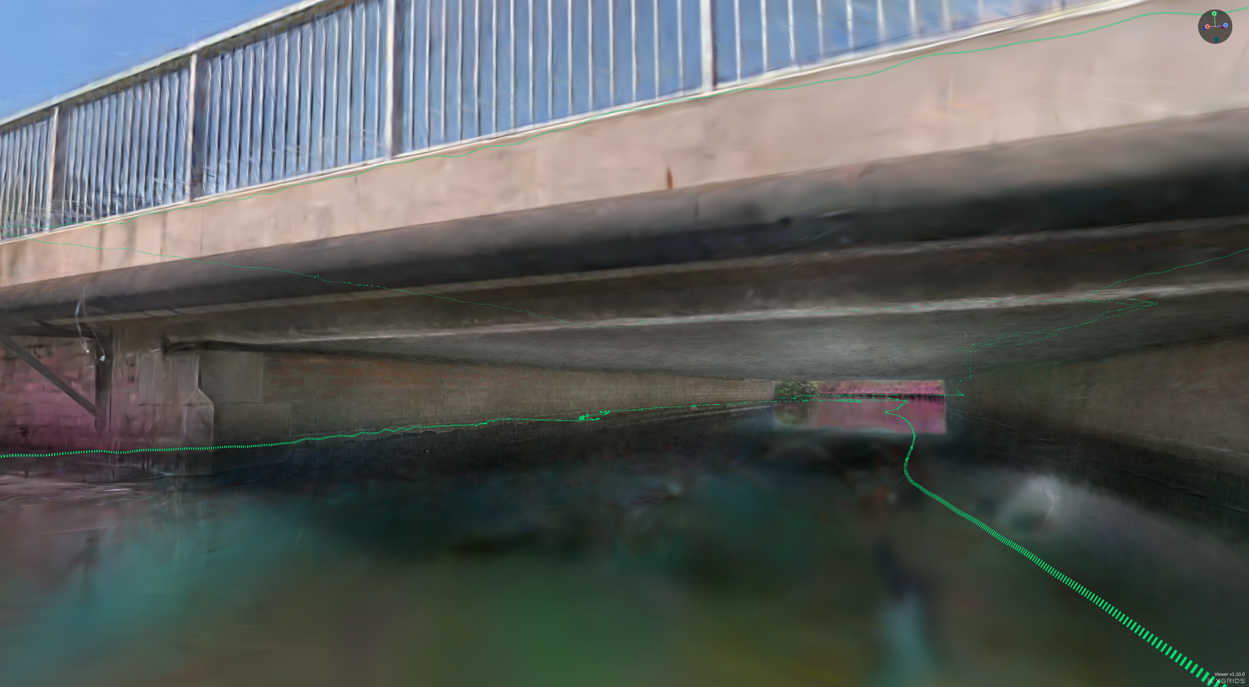
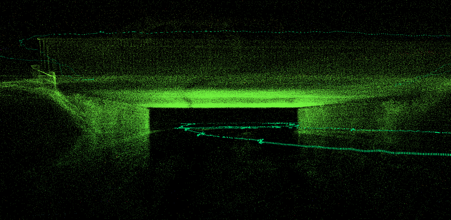
LIDAR, que significa Light Detection and Ranging, es un método de teledetección que utiliza luz en forma de láser pulsado para medir rangos (distancias variables). Estos pulsos de luz, combinados con otros datos registrados por cámaras, generan información tridimensional precisa sobre la forma de la superficie y sus características.
Existen dos tipos de LIDAR: el topográfico y el batimétrico. El LIDAR topográfico suele utilizar un láser de infrarrojo cercano para cartografiar el terreno, mientras que el LIDAR batimétrico utiliza luz verde que penetra en el agua para medir también las elevaciones del fondo marino y del lecho de los ríos.
Cspect uses this technique to make inventories to feed BIM-databases with the characteristics, actual state, dimensions and 3D mapping of structures
¿Necesitas más información? Ponte en contacto con nosotros