LIDAR inspections
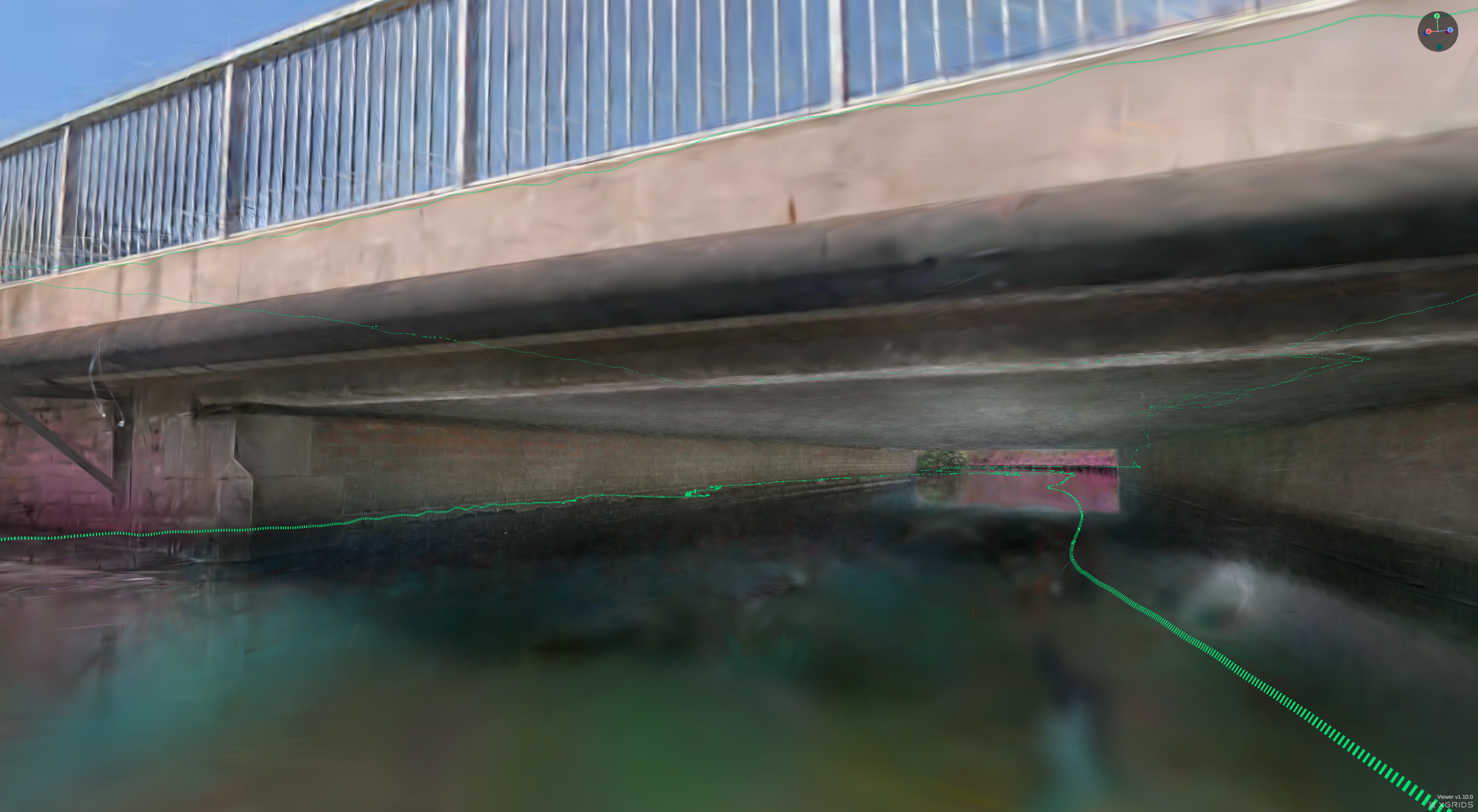
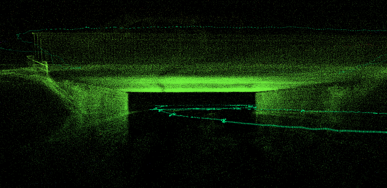
LIDAR, which stands for Light Detection and Ranging, is a remote sensing method that uses light in the form of a pulsed laser to measure ranges (variable distances). These light pulses—combined with other data recorded by cameras — generate precise, three-dimensional information about the shape of the surface and its characteristics.
Two types of LIDAR are topographic and bathymetric LIDAR typically uses a near-infrared laser to map the land, while bathymetric lidar uses water-penetrating green light to also measure seafloor and riverbed elevations.
Cspect uses this technique to make inventories to feed BIM-databases with the characteristics, actual state, dimensions and 3D mapping of structures
Need more information? Contact us